How to Plan a UK Staycation Itinerary Using Ordnance Survey Maps

A good staycation rarely starts with a booking site. It starts with a map spread across the kitchen table, a mug of tea going cold beside it, and the slow realisation that the bit of countryside you have driven past for years is actually laced with footpaths. Ordnance Survey (OS) maps are the most useful tool for that moment, because they show not just where places are but how to move between them. Here is how to turn one into a real itinerary, whether you have a long weekend or a fortnight.
Start with the right map for the job
OS publishes two main paper series, and choosing correctly saves a lot of squinting.
- Explorer (orange cover, 1:25,000) — the walking map. Field boundaries, footpaths, gates, campsites and contour detail are all clear. If your trip involves boots, this is the one.
- Landranger (pink cover, 1:50,000) — better for cycling, driving and seeing how a whole region knits together. Paths are marked but less precisely.
Order the paper sheets for your area, then use the OS Maps service for planning on screen — it uses the same mapping, and letting you zoom in and out at home is far easier than unfolding a wet map on a hillside. Check you have the current edition; paths are occasionally diverted and new access land is added from time to time.
Pick a base, not a checklist
The classic mistake is trying to see everything. Instead, choose one or two bases and build loops around them. A village with a railway station, a pub and a shop is worth more than a prettier village with none of the three.
Look at the map and ask a simple question: where can I sleep within walking distance of a path? Youth hostels, bunkhouses, campsites, pubs with rooms and self-catering cottages all show up as symbols or can be found by name. Two nights in the same place means one unpacking, one set of wet boots by one radiator, and a spare day if the weather turns.
Read the map like a walker, not a driver
Zoom in and trace your route properly. On an Explorer map, public footpaths are dashed green, bridleways dashed green with a plus sign, and byways more openly marked. Rights of way are legal routes, but they are not all pleasant — a green lane can be a churned mud track in February.
Three details matter more than distance:
- Contours. Tight, close-together lines mean steep ground. A five-mile walk with 400 metres of climbing takes far longer than a flat five miles.
- Streams and boundaries. These are the easiest handrails and the quickest way to confirm where you are when the path fades.
- Access land. Shaded areas on the map usually mean you may roam more freely, though some restrictions apply at certain times of year.
As a rough planning figure, allow around 3 km per hour on mixed terrain, and add time for hills, gates, stiles and photographs. Most people walk more slowly than they expect, and that is fine — the schedule should bend, not break.
Link the route to public transport
This is where OS maps quietly beat most apps. National Rail lines, stations and some bus routes are marked, so you can see at a glance whether the end of your walk connects to anywhere.
A few ways to use that:
- Plan a linear walk and catch the train or bus back to your base, rather than retracing your steps.
- Use a station as your start point, so the car stays at home for the whole trip.
- Check the last bus or train of the day before you set out — rural services thin out dramatically in the evening and on Sundays.
Keep a note of the local taxi numbers too. They are the sensible insurance policy when a walk runs long or the weather closes in.
Build the itinerary day by day
Once you have a base and a transport link, the days almost write themselves. A workable pattern for a week might be: arrival and a short evening leg-stretch, two full walking days from the same bed, a rest day with a town or a coast, then a linear walk finishing at a station with a train home.
Write each day on one line — start point, finish point, distance, estimated time, and the last realistic transport home. If a day needs more than a sentence, it is probably too ambitious.
Prepare for the ordinary problems
Weather in the UK changes faster than any forecast admits, so plan alternatives. A low-level riverside loop or a town day is not a defeat; it is good planning. Take a paper map as well as a phone, because batteries flatten and signal drops in valleys. A compass and the basic skill of setting the map to north will get you out of most confusion, and telling someone your route and expected finish time costs nothing.
Finally, respect what the map shows. Keep to rights of way across farmland, close gates, take litter home and give livestock plenty of room, especially where dogs or calves are involved. The Countryside Code covers all of this in a few short pages and is worth a read before you go.
A short checklist before you travel
- Current Explorer or Landranger sheets for the whole route, plus a backup in the OS Maps app.
- Accommodation booked, with at least one night near a station or bus stop.
- Train and bus times written down, including the last service of the day.
- Distances and ascent checked, with a shorter option pencilled in for each day.
- Waterproofs, spare socks, water, snacks and a small first aid kit.
- Route shared with someone at home, and taxi numbers saved.
Do that once and the next trip takes an evening to plan, not a fortnight. The map does most of the work — you just have to read it slowly, and let it suggest somewhere you had not thought of going.
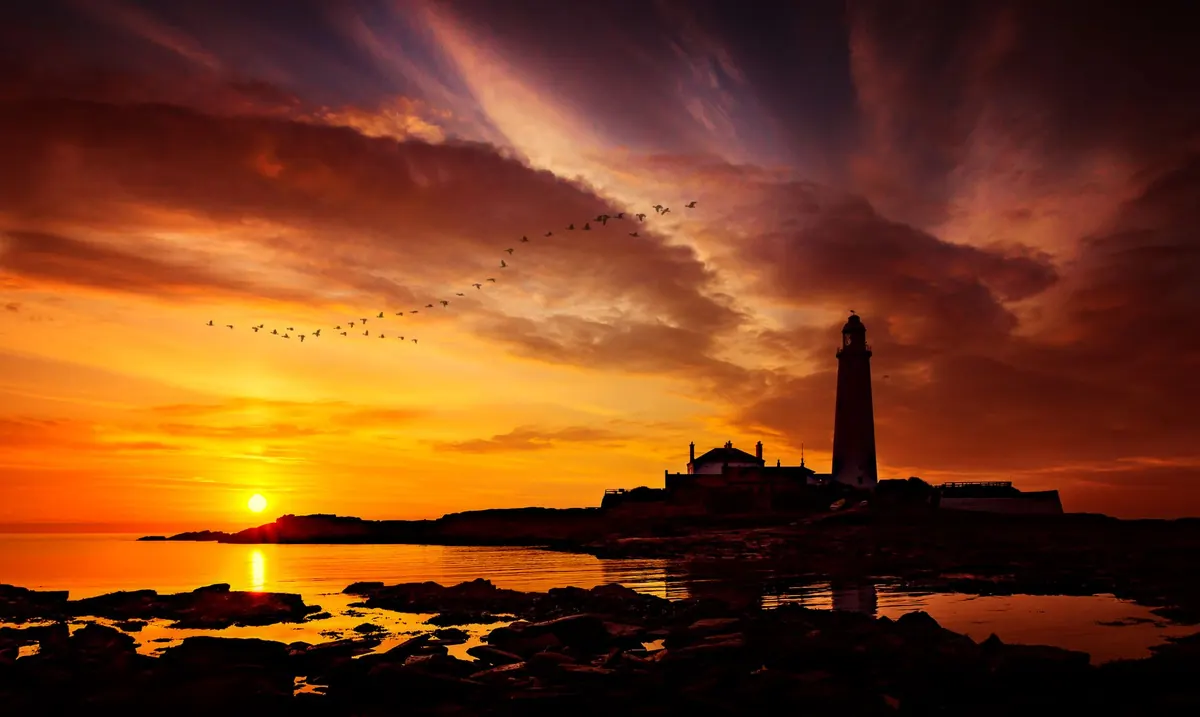
Photo: WikiImages / Pixabay