10 UK Coastal Walks for Spring: Maps, Tides and Timing
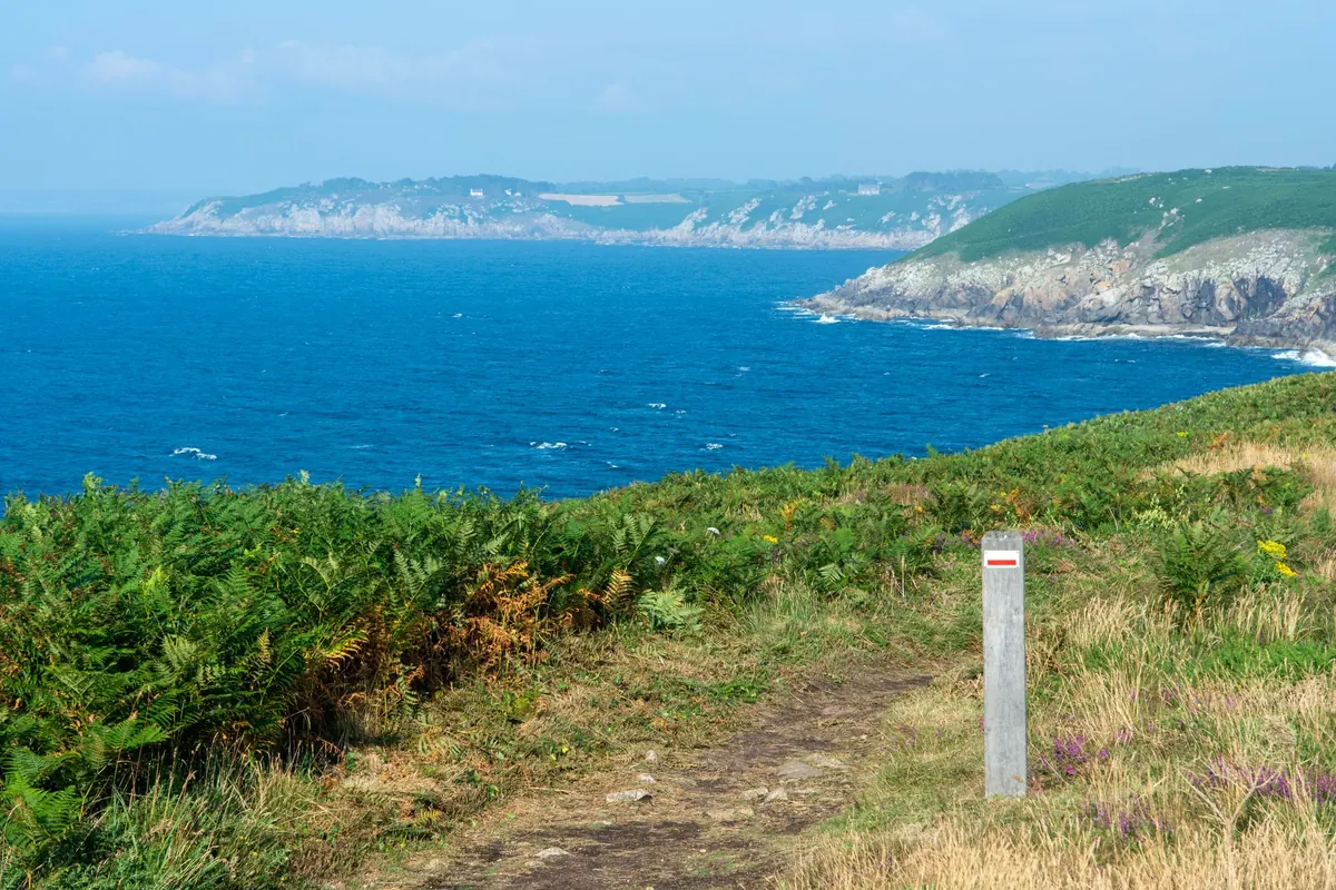
Spring gives the British coast a short, generous window. The crowds are still elsewhere, the seabirds are arriving, and the light does things no August afternoon manages. What spring also gives you is weather that changes its mind by lunchtime, and tides that will not wait for your picnic.
The ten walks below are all established routes on mapped paths. Each comes with a timing note worth reading before you leave the house. Distances are one way unless stated, and they assume a steady pace with stops. Add time for steps, shingle, soft sand and the headwind that always seems to be against you.
Spring Tides, and Why the Name Is a Coincidence
Spring tides have nothing to do with the season. They arrive around the new and full moon, roughly twice a month, all year round, and they give the biggest gap between high and low water. Neap tides, around the quarter moons, are the gentle ones. That matters, because the beach you can stroll across on a neap low tide can be a different proposition entirely on a spring one.
Tide times move on by about fifty minutes a day, so a safe window you noted last weekend will be an hour later next weekend. Wind and air pressure shift things further: a strong onshore blow combined with low pressure can hold water higher and longer than the table predicts. Treat published times as a good estimate, not a promise.
Working out your window
Find the tide table for the nearest standard port — harbour noticeboards, chandlers and official tide tables all carry them, and a screenshot survives a dead phone signal. Then decide what kind of walk you are doing. Cliff-top paths are largely tide-proof. Beaches beneath cliffs, estuary crossings and causeways are not. As a habit, be off a cut-off beach an hour before high water and cross a causeway near low water, checking the day's own figures rather than relying on a rule of thumb.
Maps and Distance: Getting the Numbers Right
Almost every walk here follows a waymarked long-distance route, which is a good start. Waymarks do, however, vanish in sea fog, at beach access points and where a path has been rerouted after a landslip. Carry a map you can read in the rain.
- 1:25,000 OS Explorer sheets for the detail that matters: field boundaries, steep ground, footbridges, and the difference between a right of way and a permissive path.
- 1:50,000 OS Landranger if you prefer a wider view and less folding in the wind.
- Download the offline map area at home, then put the phone away and use the paper copy. Cold screens and wet fingers are a poor combination.
- Check the sheet covers both ends of the walk, including the descent to the beach and the path back up.
- A National Trail or Wales Coast Path guidebook often flags the tidal sections where a route crosses an estuary.
Coastal distances are optimistic. A seven-mile cliff walk is a half-day, not a morning. If the route includes a tidal crossing, the timetable rules the day: turn back with the tide, not with your legs.
Ten Walks Worth the Early Alarm
1. Seven Sisters, East Sussex
Park at Birling Gap or Seven Sisters Country Park and follow the South Downs Way between Eastbourne and Cuckmere Haven, about seven miles with short, sharp climbs between each sister. The beach below is cut off between Birling Gap and Cuckmere Haven as the tide rises, so do not plan a low-level return. Keep well back from the edge; this chalk leaves in slabs.
2. Durdle Door and Lulworth Cove, Dorset
Three to four miles of the South West Coast Path with steep steps at either end, taking in the cove, the arch and the ridge above. Two checks first: the army ranges west of Lulworth Cove close on many days, and the shingle beach at Durdle Door has a pull on a spring ebb that catches people out. Parking is pay-and-display, so arrive early.
3. Worm's Head and Rhossili Bay, Gower
Four miles out and back from Rhossili, and the whole point is a causeway. The rocky crossing to Worm's Head is uncovered only near low water — commonly quoted as about two and a half hours either side of it — and floods quickly. If you are unsure, watch from the clifftop path. Same view, none of the risk.
4. Padstow to Constantine Bay, Cornwall
Six to seven miles of the South West Coast Path through Trevone, around Trevose Head and along Harlyn Bay. Spring brings wild garlic in the hedges and a coast that is quieter than it will be in July. Harlyn shelves gently and is fine on a falling tide; the rocks below the headland are slippery and the swell arrives without notice. Check the return bus times before you start.
5. Holkham to Wells-next-the-Sea, Norfolk
About four and a half miles of the Norfolk Coast Path: pine woods first, then a beach so wide it takes a while to reach the water. The walking is flat and the navigation easy, but the tide runs out a long way and returns across the sand and the salt-marsh creeks faster than most people expect. Finish at Wells, where the harbour and the beach huts mark the end.
6. Whitby to Robin Hood's Bay, North Yorkshire
Seven miles of the Cleveland Way, every one of them earned. Steps, gullies, a few steep pulls, and views back to Whitby Abbey. Allow three to four hours. Both ends have tidal beaches, small and quickly covered at Robin Hood's Bay, so plan your arrival rather than your paddle. Cafés at both ends, and a bus back in season.
7. Holy Island, Northumberland
The walking is a gentle three-to-four-mile circuit of the island — harbour, castle, north shore, lough — but getting there is the timing exercise. The causeway floods twice a day. Cross within the safe window, and never treat the refuge box as part of the plan. The lough end is worth the detour for nesting terns later in spring.
8. Elie to Crail, Fife
Eight miles, give or take, along the Fife Coastal Path, past fishing villages and rocky coves. The Elie Chain Walk at Kincraig Point is an optional detour: a bolted and chained scramble best attempted near low tide, in dry weather, and only if exposure does not bother you. Otherwise the path above gives you the same coastline without the grips.
9. Sandwood Bay, Sutherland
Four miles each way from the car park at the end of the road at Blairmore, across moorland, then the bay opens out with its dunes and the sea stack, Am Buachaille. This is a beach to look at rather than swim from: the currents are strong and there is no lifeguard. Spring here is bright, cold and often windy, and the return leg is uphill.
10. Giant's Causeway to Portballintrae, County Antrim
Three miles along the Causeway Coast Way past the stones and the Runkerry headland. Two options: the cliff-top path, which works at any tide, and the lower shore path, which needs low water and careful feet on wet basalt. The stones themselves are slick and the spray reaches them in a swell. The visitor centre runs a shuttle for anyone who would rather not walk back up.
The Five Minutes Before You Set Off
- Tide table for the nearest port, saved as a screenshot.
- Wind and weather forecast. The coast is often colder and windier than the car park you left.
- Route written down with a turnaround time, and someone at home who knows it.
- Layers, waterproof, water, food, paper map, small battery pack.
- Parking checked: closing times, how you can pay, and any seasonal restrictions on dogs or access.
Spring on the coast is generous when you plan it and grim when you don't. Take the tide table seriously, take a map, and leave yourself a margin. For anything beyond a straightforward path — scrambling, climbing, or swimming from a remote beach — get proper instruction and go with someone experienced. If you have a health condition that could flare up somewhere without phone signal, speak to your GP before committing to a long coastal route.
Photo: Jan van der Wolf / Pexels